Climbing Åredalens Three Peaks
Challenge yourself and climb three of the peaks surrounding Åre – Mt. Åreskutan, Totthummeln and Mullfjället, an effort that deserves more than a pat on the shoulder afterwards.
There’s something special about standing on the top of a mountain. It’s not possible to be any higher in that moment and to have reached to the top by your own means. That feeling is unique and completely unbeatable.
Find your Way
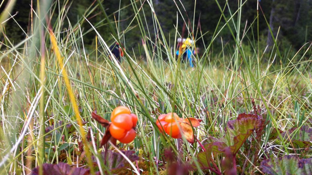
Even on marked trails, it is important to bring a map when hiking. Aretrails.com is your digital trail guide to Åre. Filter your choice to find your favorite trail for hiking, trail running and more.
If you prefer a paper version of the trail map you can pick it up at any Skistar shop, also some of the hotels and sports shops offer printed trail maps.
The Three Peaks
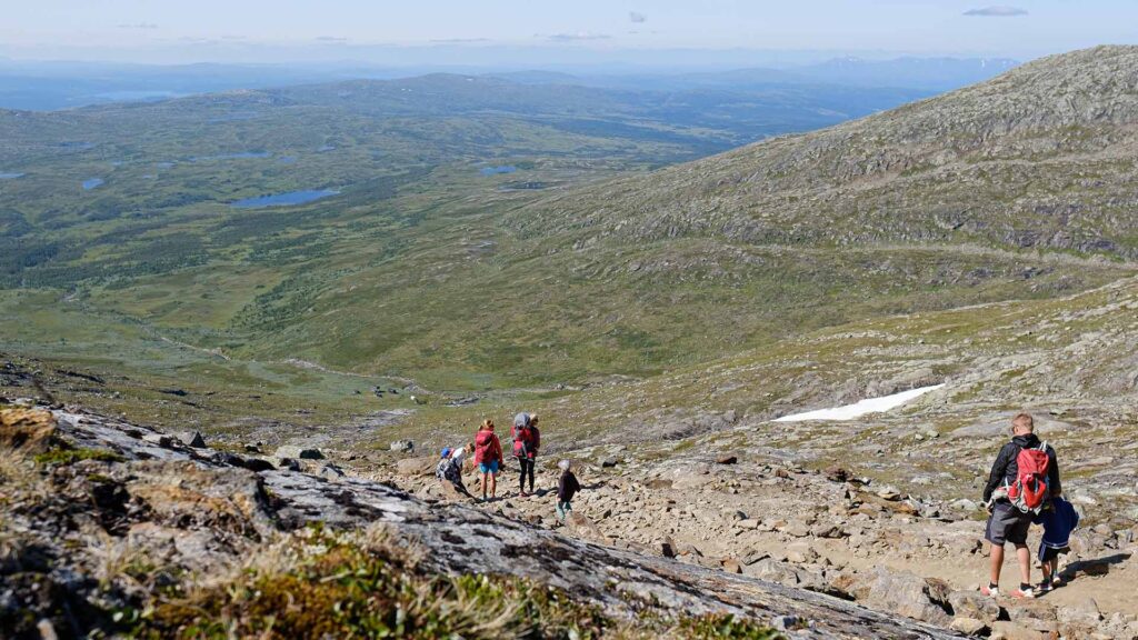
In the challenge Three Peaks we’ve listed three peaks surrounding Åre. Every one of them have marked hiking trails and offer moderate hiking.
Mullfjället 1031 masl
To reach Mullfjället’s peak, follow Trail 203/205 from Duved’s Central Station or from Hamreliften’s parking. The trail goes through the gravel road up to Linbanan’s Mountain Station (you can also head straight up the slopes), the main thing is that you continue up from Linbanan’s Mountain Station. The view from Mullfjället over Åredalen is incomparable so bring coffee and enjoy! Should there be some bad weather there is a wind shelter at the top.
If you go the clockwise it is 7.3 kilometres up, slightly shorter and takes about 2.5-3 hours. The vertical difference from the central station is 640 meters, from Hamrelift’s parking 610 meters.
Mt. Åreskutan 1420 masl
To reach Mt. Åreskutans peak, follow either Trail 214 (red) or 215 (black). The Red Trail is 6.5 kilometres and takes about 2.5 hours. The Black Trail is 7.2 kilometres, has steeper terrain and takes between 3 and 3.5 hours. After 1000 vertical meters, the view is amazing. Look north over Kallsjön and Skäckerfjällen, east over Helgesjön and Järpen, southeast is Oviksfjällen, south is Välliste, Renfjället and Årefjällen, southwest over Sylarna and west to Tegefjäll and Mullfjället.
Every day the Cable Car is running, Toppstugan’s café is open – Sweden’s highest café located at the top of Åreskutan. You find the lift opening hours here.
Take a lift part of the way for a little extra help getting up and down form Mt. Åreskutan or go for the full challenge and rely on your own devices to get you there.
Totthummeln 826 masl
Totthummeln stretches just east of Åre and during the winter you’ll pass it to and from the ski experiences in Björnen. Then there aren’t as many peaks there but it’s a popular hiking and excursion destination during the summer. This is the fastest climb and most weather-protected of the three. Start from the Square, the Cable Car or Fjällgården and follow Trail 213. If you walk the entire distance from the Square you have close to five kilometres of walk in front of you and about 420 fall vertical meters. The trip takes about 1.5 hours, a little longer if stay and enjoy the view both from the top and at Nalleklippan.
Good luck and enjoy your tours!
P.S. The weather can change quickly so make sure you bring clothes made for rain showers and/or cold winds and remember that there’s no shame in turning back. The mountains will still be there tomorrow. It’s better to be safe than sorry.
P.S. #2 Be a good visitor in nature. Bring all your trash, including cigarette butts and such, back home with you and keep your dog leashed. Read more about been a responsible visitor in nature here >>
Last updated 11 August 2023