
Go with the Mountain Flow
Running down the slopes of Stendalsrundan
Photo: Sara Rönne
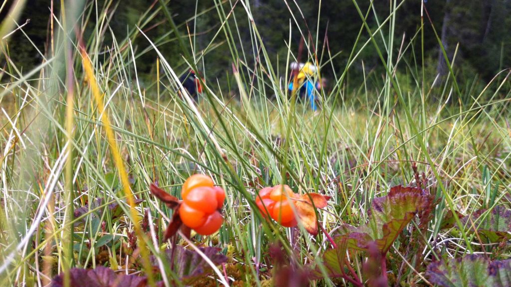
Try trail running in Åre and find your flow. Run through lush mountain birch forests, take leaps over the rippling mountain streams and catch the stunning views of the far-away mountain peaks. Running in the mountains doesn’t just have to be about timberline and trails with high altitudes. Here are our recommendations for powerful trail running with loads of highlights along the way.
Please note: The trails are laid with boardwalks on wetlands and other mounds that have a tendency to be wet. These are convenient for runners but also protect the ground from wear and tear. Stick to the boardwalks as best as you can and avoid running on wet trails (for example, after a rainfall). It’s also common to see reindeer on and around the trails. Please keep your distance, avoid disturbance and, if possible, choose a different route. Thank you!
Stendalsrundan
ELEVATION 410 m | DISTANCE 10,3 km
This trail starts at Åre torg but you can take the funicular (Bergbanan) to Fjällgården and follow the signpost to Trail 210 or take the VM8:an to skip a few or many meters of elevation. The latter option means you’ll get mostly negative elevation on your way back. The trail runs into Stendalen with a great view of Mullfjället in the west and offers a lovely downhill run through birch woods as it winds eastwards towards the village. As you may use the lifts to reach higher elevation, this is a good trail to start with, if you wish to try trail running.
FIND IT Trail 210
Platåleden
DISTANCE 6,3 km
This is a relatively easy trail that begins with a footpath before ascending up to Platåkåtan. Continue for a few kilometres through the mountain birch forest until the entire Ottsjö plateau opens up before you. The trail crosses a marsh on wooden planks—just keep your head and don’t lose your balance. After the marsh, take a detour towards Kläpphögarna for views of Lake Ottsjön and Ottfjället.
FIND IT Trail 260
Lillådammen and Byxtjärn
DISTANCE 7 km
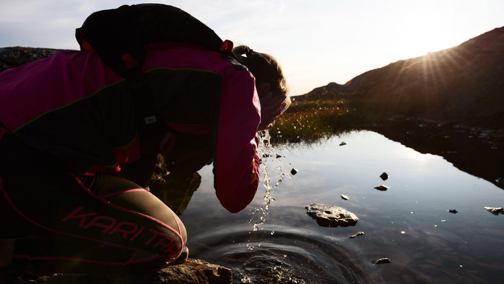
Trail 221 takes you to the small mountain lakes Lillådammen and Byxtjärn, winding through sheltered trees. Reward yourself with a refreshing dip before heading back down. The trail starts at the historic mining site Fröå Gruva, and after a few kilometres, it splits towards the two tarns. Byxtjärn is more sheltered from the wind and weather, while Lillådammen is more exposed and features a slightly muddier path. The same route takes you back to the starting point. Be sure to recharge with lunch or a traditional Swedish “fika” at Bergstugan before heading home.
FIND IT Trail 221c
Tegeforsen
ELEVATION 20 m | DISTANCE 12 km
The trail to Tegeforsen waterfall doesn’t feature unpaved terrain or mountain tundra, but it’s a lovely route for tired legs craving lightly trodden asphalt and gravel roads. It’s suitable for running with a stroller or in the worst kind of weather. The distance from the village to Tegeforsen is about 6 km, half of which is on gravel road. Cross the train tracks just after the winding section on Årevägen, then follow the signs to Trail 218 or the pilgrim trail, St. Olavsleden.
FIND IT Trail 218
Björnentriangeln
ELEVATION 460 m | DISTANCE 16,8 km
This is a longer trail with limited elevation gain, which means that despite the distance, it is a fairly easy option to start with. It is also quite exposed, which means it can be wet after a period of rain. The Björnentriangeln doesn’t take you up any mountain peaks, but you won’t be short of views as you will be close to Blåsten, which casts shadows across the trail, which is dramatic enough. And keep your eyes peeled for a glimpse of a bird of prey.
FIND IT Trail 221
Read more
Swedish Right of Public Access
Due to the Swedish right of common access you may move freely throu…
Long Distance Mountain Running
Get tips for really long trails or trails that offer something spec…
Swimming in Åre
It may not be the beaches that make us love summertime in Åre as mu…
Last updated 16 June 2025


