
Quick facts about Åre
This list could go on forever, but we’ll try to keep it short. Here you’ll find out how many people actually live in the village and the municipality, the real number of lifts and pistes, the height of Åreskutan, and a few other fun facts and figures.
About Åre Village & the Municipality
DISTANCES
Stockholm – 610 km | Östersund – 96,6 km | Trondheim – 165 km
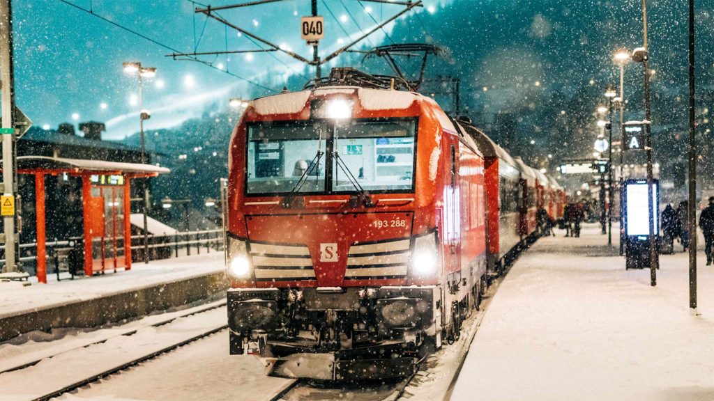
TRAVELING
Train Station: centre of Åre. Airports: Åre/Östersund Airport | Trondheim Airport.
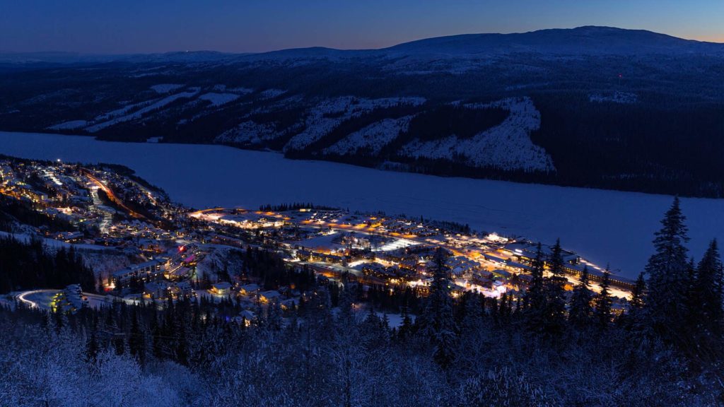
INHABITANTS ÅRE VILLAGE
Circa 2 600 (2923)
INHABITANTS ÅRE MUNICIPALITY
Circa 12 600 (2023)
EATERIES
Circa 75
AVAILABLE BEDS
Circa 42 000
Geography & Nature
MT. ÅRESKUTAN
Measures 1 420 metres above sea level & includes Totthummeln, Lillskutan & Västerskutan.
PEAKS NEAR ÅRE
Trillevallen – Välliste, 1025 masl | Edsåsdalen – Renfjället, 986 masl. | Duved/Tegefjäll – Mullfjället 1031 masl.
MAXIMUM DROP
From Mt. Åreskutan to Åre Village: 890 metres.
LAKE ÅRE (ÅRESJÖN)
Located on 372 metres above sea level.
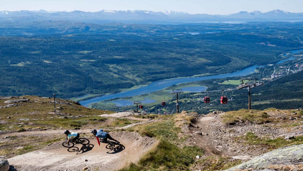
About the Bike & Ski Area
NO. OF LIFTS
46. Åre by + High Zone: 22 | Björnen: 12 | Duved/Tegefjäll: 12
5 of these are open during the summer season.
NO. OF SLOPES
Winter: 90
Summer: 68, of which 18 are for trail biking & 40 for downhill biking.
LONGEST RUN
Långsvängen, 6,5 km
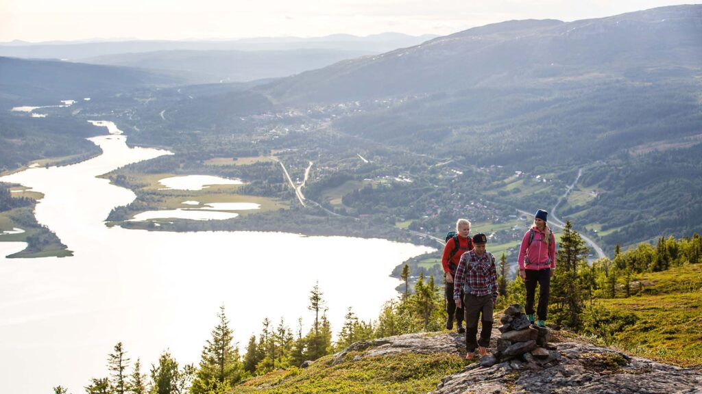
HIKING TRAILS
62. Åreskutan: 31 | Duved: 12 | Ullådalen: 7 | Björnen: 12
CROSS-COUNTRY TRAILS
Åre, Duved, Ullådalen & Björnen: 14
Vålådalen: 12 | Ottsjö: 1 | Trillevallen: 4 | Edsåsdalen: 5
SKI TOURING TRAILS
Åre, Duved, Ullådalen & Björnen: 13
Vålådalen: 4 | Ottsjö: 1 | Trillevallen: 3 | Edsåsdalen: 10
Find Your Trail
Last updated 5 June 2025


